Using 3D video gaming technology to envision future of beloved creek
Topics
Featured
Share online
A team of Royal Roads University researchers is taking on a project that hits close to home — for both them and the school.
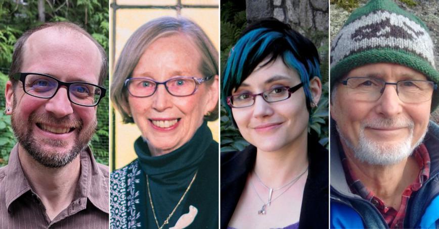
The quartet — Jaigris Hodson, Leslie King, Rob Newell and Brian White — will be using a $72,000 Insight Development Grant from the Social Science and Humanities Research Council to develop and test an experimental visualization tool for supporting participatory approaches to integrated watershed management planning in the Millstream Creek Watershed.
The creek runs through nearby Langford, where the team members live, including White, an urban geographer, who says the project is an outgrowth of the work of Friends of Millstream Watershed, of which he’s a member. As Langford has developed over the last few decades, he says, not enough attention has been paid to the creek and how it could be evolved to include recreational opportunities as well as habitat safeguards.
“You’ve got to integrate recreational leisure opportunities with the protection of the creek itself,” White says, adding, “What we do need to do is to try to get more people involved in deciding on what the best options would be for the creek itself because it would be a major opportunity.”
The key, he says, is the 3D visualization tool the team will develop, and that’s where Newell comes in.
Newell, an assistant professor and Canada Research Chair in Climate Change, Biodiversity and Sustainability, says that tool will be created using the Unity3D game engine, “so you can go in and take a look at different scenarios, which would be the strategies as implemented in the real world. You will be able to look at them either from a bird’s eye view or a first-person view.”
Incorporating data and even stories about Millstream Creek, “The idea of the tool is to be able to think about, if we’re to do management strategies in the watershed and other things — for instance, opening up new recreational opportunities or things that might be protect the aquatic wildlife there — how do the strategies fit within a broader constellation of social, environmental and economic objectives?
“It’s useful to be able to communicate the complexities of trying different strategies.”
Local government officials and stakeholders will have a hand in developing the tool through a series of workshops, he says, and a variety of community members will be able to use the end product to better understand the options for managing and shaping future of the watershed.
“One of the things I’ve found in visualization research is it engages people in a very different way than, for instance, quantitative models or data,” Newell explains. “It’s more visceral, more emotional, something that relates to sense of place and place-based values.”
Place is a critical part of the project not just because the researchers call Langford home, says White, but because RRU will soon have a greater presence in the municipality with the planned opening of the collaborative Westshore campus in the heart of the community.
• Regarding the other members of the research team, Hodson is an associate professor and Canada Research Chair, Digital Communication for the Public Interest while King is a professor as well as program head, MA/MSc in Environmental Practice and Graduate Certificate in Science and Policy of Climate Change, and director of the Canadian Centre for Environmental Education.